Nitmiluk National Park 4 -some final observations

The Cutta Cutta caves limestone caves may not the most colourful but are an amazing insight to the forming of the artesian springs in the Northern Territory.

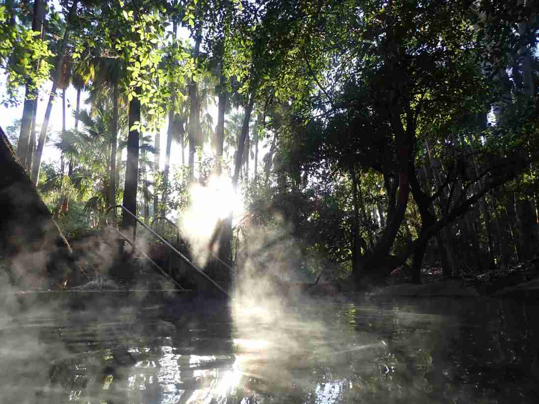
In the wet season this cave and others like it act as funnels collecting the monsoonal rains to flow through the limestone and into the artesian basin.

The water heats up and flows out at thermal springs at Mataranka and Katherine.

The sunset over the Katherine with the bats taking off into the night ( look closely at the photo just above)

The birdlife is abundant but at Edith Falls there was something special.

This Great Bower Bird singing his full repertoire of songs. (The Great Bower Birds are amazing at mimicking sounds which they include in the songs. Other birds calls, engines starting, towels fluttering are all included.)

His singing was successful as he seduced this female into his carefully constructed Bower.

How wondrous is nature.

Nitmiluk NP 3 – the Arnhem Land Plateau and Aboriginal Rock Art

There are significant sites of rock art all around the Nitmiluk NP.

There are sites in the public access areas of the Gorge

There are remote areas accessible only by helicopter

And special areas only accessible with aboriginal guides, in remote communities. Unfortunately due to Covid 19 access to remote aboriginal communities is not available.

The Arnhem Land Plateau is amongst the oldest exposed rock in the world.

Being formed 1,600 million years ago.

In the wet season the sandstone acts as a giant sponge soaking up the flooding waters that flow as springs and waterfalls in Nitmiluk and Kakadu in the dry season.

We landed at a spring atop the Arnhem Land Plateau

Around the spring were six galleries of aboriginal art

This was a place for dreaming hence the yellow Mimi spirit, catching fish, and giving birth.

I can’t capture the galleries painted thousands of years back are.

In the main Gorge the rock art is more accessible

For us, non aboriginal people this art are interesting images.

For aborigines they tell a story of how the land was formed and changed over tens of thousands of years

How to find food and water in the wilderness.

How to live as one with the land.

Nitmiluk National Park 2 – colours of Katherine Gorge

Katherine Gorge is the tourism centre piece of the Nitmiluk National Park.

The Gorge is over 16km long. In the dry season it is made up of 13 separate gorges each separated by natural rock rapids and waterfalls.

In the wet season, the monsoon, the water depth is, average 7 metres higher and the Gorge is one rushing torrent of water.

I was there in the dry season.

From a kayak there is a water eye view of the steep cliffs and the little barriers that separate the 13 sub gorges.

On an evening boat cruise at sunset the colours and the reflections take on a more reddish hew.

And after the sun has set

If your lucky the full moon rises

And of course there are the inhabitants of Katherine Gorge

The fresh water crocodiles

The colours of Katherine Gorge are indeed beautiful!

Nitmiluk National Park 1 – Edith Falls

There are two major accomodation hubs in the Nitmiluk NP a small campground at Edith Falls and camping , cabins and 5 star lodges at Katherine Gorge.

Edith Falls campground sits beside a big lagoon at the bottom of a series of waterfalls where the Edith River cascades downward off the Arnham Land Plateau.

The Upper Falls swimming hole is at the top of the escarpment

But the Edith River has more treasures further up stream.

An appropriate 2km walk along the top of the Plateau is the Long Pool.

A perfect place for a natural spa

A further 2km along the trail is Sweet water

A lovely swimming hole it is also the final camping spot on the Jarbulla trail.

You can also walk up from Edith Falls campground and camp overnight at Sweetwater.

The swimming whole that will stick in my mind though is the Long Pool

There are no reservations at the Edith Falls campground so it’s best to get there early as the sites go quickly.

The kiosk is really friendly for checking in and healthy snacks

If you don’t want to hike to swim the main swimming hole.

Which at sunset turns an amazing shade of red at sunset.

Into the Northern Territory- more hot springs, how can life be so hard!

I was running short of supplies to find a supermarket.

Nearest supermarket – 550km by mainly sealed roads or 334 by mainly dirt roads.

So it was back on the dirt roads again and refreshed by the healing waters of Boodjamulla it was time to make big distance.

A stop at Riversliegh (https://en.m.wikipedia.org/wiki/Riversleigh_World_Heritage_Area) the world heritage fossil site.

Through river crossings

And onto the city of Mount Isa.

Refreshed from my swimming at Boodjamulla is time was time to make miles.

Some Covid outbreaks in Queensland influencing my decision to get west while I could.

I covered the just over 1,600km to Mataranka hot springs a 2 and a half days.

Met up with some fellow bikers on the way

Joined up again with the beautiful Savannah woodlands

And celebrated being back in the Northern Territory with a soak in the hot thermal waters of Mataranka on a moonlight night.

And how could I resist a dawn swim!

The steam rising of the thermal water in the cool morning air.

Border entry into Western Australia is very strict with a requirement to be in the Northern Territory (classified covid low risk) for 14 days before entering.

Nitmiluk National Park was my next stop and where I have spent most of my current time in the Northern Territory.

My next few posts will cover this amazing piece of Australia.